Durinish
- fionaell
- Jun 29, 2019
- 1 min read
A couple of weeks ago we went to Waternish, today we went to Durinish. Durinish is next to Waternish and north of Minginish and West of Trotternish. You get the idea.
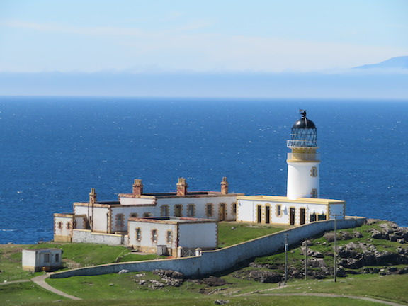
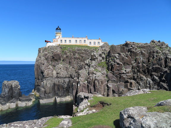
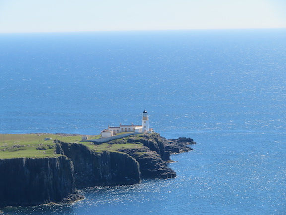
Most of Durinish is not accessible by road. It contains the 'McLeod's tables' hills I wrote about before and has a cliffy coastline. On one side, near the end, is Neist Point, which has a lighthouse. This place has become Instaworthy - we normally avoid these places but it was about the only road there was to explore in Durinish so we gave it a go.
And you can kind of see why it's famous
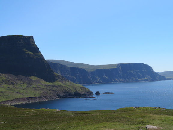
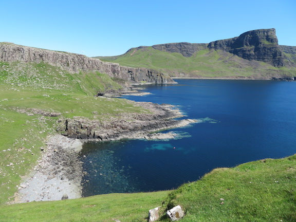
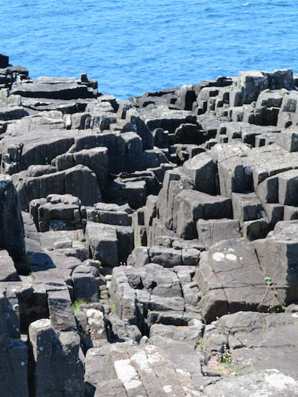
The coastline is mostly tall cliffs with emerald green grass and very blue water - trees are not so much of a thing, having all been removed a while back! It does make the geology very obvious and the shapes of the land more dramatic.
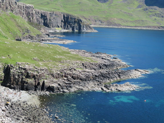
Basalt reefs in irregular columns...
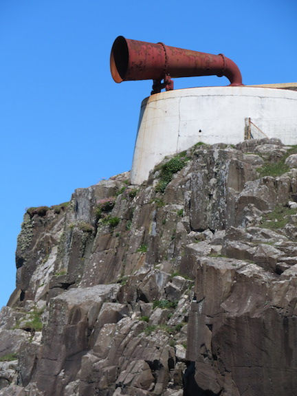
Very cool foghorn
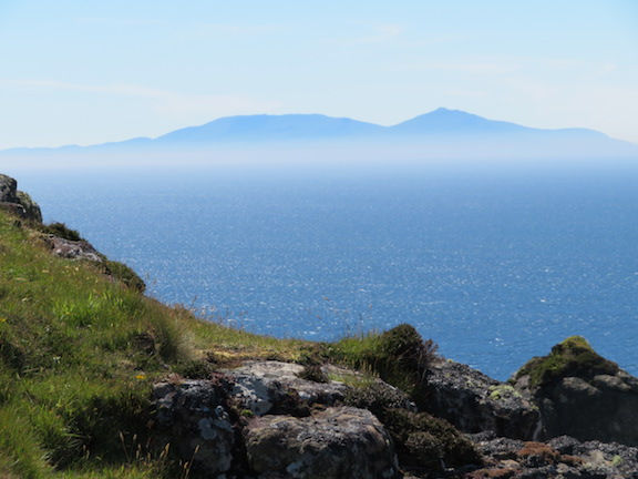
Rum in the distance
Our go at the 'money shot': 10p maybe? (https://www.google.com/search?q=neist+point+lighthouse&source=lnms&tbm=isch&sa=X&ved=0ahUKEwi_48ym9Y7jAhVJQhUIHf2jBkwQ_AUIESgC&biw=1353&bih=713)
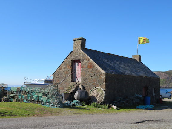
We went for a circuit walk around Upper and Lower Milovaig. Nice to scramble around the rocks by the sea. The netting boxes are creels for catching langoustine, which they export to the EU...for how much longer?!?!
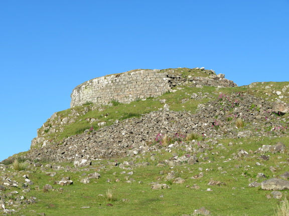
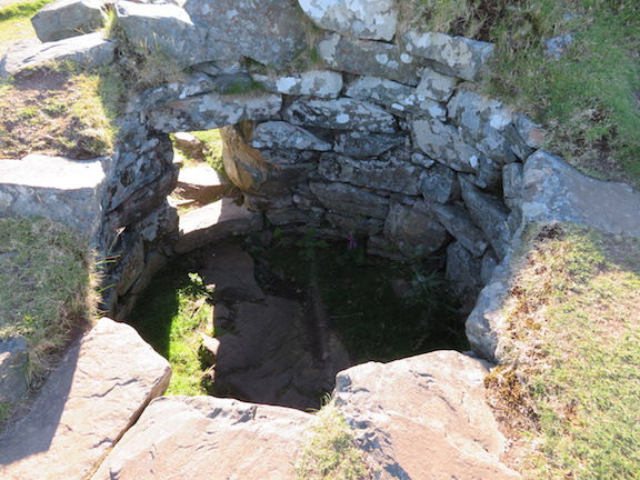
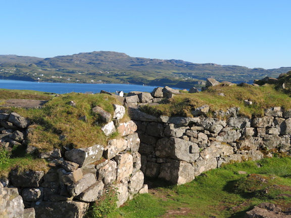
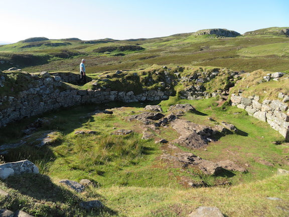
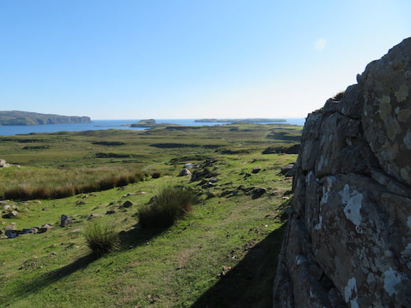
On the way back to Sligachan pub for tea (400 whiskies!) we stopped at Dun Beag, the best preserved broch on Skye. It was a great one: large, with stairs and guard cells intact - it must have been huge because its base was big, and the view it commanded was amazing.
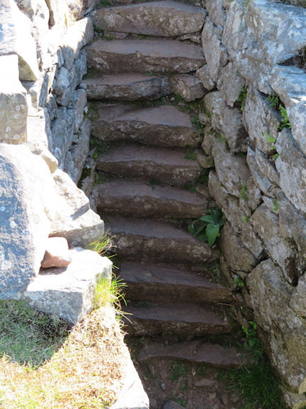
This one has the ghost of a Bronze Age warrior for scale purposes.


Comments